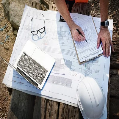
How Reliable RTK Data Can Reduce Delays and Rework in Construction Projects
Construction timelines seldom fail due to a single major mistake. They usually slip when little mistakes compound. Utility conflict identified after backfill, pad graded too low, or trench cut slightly off line. RTK data allows construction teams to identify those faults while the work is still visible and easy to rectify.
Real-time kinematic positioning uses GNSS correction data to enhance the position of a field receiver. For projects that combine rovers, machine control, and RTK for UAV mapping, the same corrected-position framework can support layout, earthwork checks, and progress records. The value is not just better coordinates. There are fewer arguments about what is correct on the site.
Why Location Data Changes the Pace of Work
Construction is a chain of decisions. Excavation is based on grade control. Foundations are based on a survey. Paving is based on layers below. A faulty link could mean the next crew has to stop or redo work that looked finished just a day before.
RTK can reduce the stop-and-start pattern by enabling crews to complete checks faster in the field. A surveyor or inspector can compare measured points with the design while the equipment is still nearby. That does not remove professional judgment, but it does make problems visible sooner.
Where Rework Usually Starts
Rework often begins with a small mismatch between the design model and the site. The drawing may be correct, but the stakeout may be wrong.
Reliable RTK workflows help reduce these gaps. They let teams verify control points, layout lines, elevations, and as-built positions against the same coordinate system.
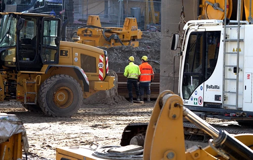
Earthwork and Grading
If a subgrade is too high, material must be removed. If it is too low, more fill may be needed, and compaction may have to be repeated.
RTK-based machine guidance can show operators how close a blade, bucket, or cutting edge is to the target surface. Still, corrected position data can reduce repeated staking, extra passes, and late grade corrections. On busy sites, that can mean fewer interruptions for survey crews.
Utilities and Buried Assets
Utility installation leaves little margin for guesswork. Pipe inverts, trench depth, manhole locations, conduits, and service lines must connect properly with the rest of the project. A missed slope or wrong crossing can create serious delays.
RTK supports a more accurate layout and as-built capture before trenches are closed. Better utility records can reduce conflicts, claims, and unsafe digging.
Faster Checks without Skipping Quality Control
One common misunderstanding is that RTK replaces checking. In reality, RTK speeds it up, but the measurements still need control, calibration, and review.
Teams should check coordinate systems, vertical datums, base station setup, antenna heights, and equipment offsets before using field results. Good RTK practice means incorporating verification into the everyday workflow.
Better Communication between Office and Field
Many delays are data problems before they become construction problems. The office updates a model; the field continues with yesterday's file, and the conflict is only noticed after installation. RTK data is most useful when it moves through a clear information process.
Field measurements can be sent back for comparison with design surfaces, boundaries, and work limits. Managers can see if an area is ready for the next crew or still needs correction. Designers can review measured deviations before approving a field change.
Progress Records That Mean Something

Progress reports are more useful when they include measured evidence. A photo can show that work happened, but coordinates can show where it happened and whether it matches the plan. RTK points, surface checks, and as-built lines help turn daily progress into usable project data.
This is especially helpful on large or fast-moving sites. When several subcontractors work in different areas, a shared spatial record reduces confusion. It also helps document completed work for payment review, handover, and future maintenance.
Site Conditions That Can Affect RTK
RTK performance depends on the environment. Open sites usually provide better satellite visibility than dense urban streets, wooded corridors, tunnels, or areas near tall structures. Cranes, steel frames, slopes, and reflective surfaces can block or bounce satellite signals.
Correct delivery also matters. Some projects use a local base station, while others use a correction network through mobile data. If the radio link drops or cellular service becomes weak, the receiver may lose its fixed solution. Crews need a clear procedure for what to do when the accuracy status changes.
These checks should be part of the normal site routine. RTK is most reliable when teams understand its strengths and limits.
The Practical Result
Reliable RTK data does not make construction simple. Weather, supply delays, design changes, ground conditions, and human decisions still affect the job. What it can do is reduce avoidable uncertainty around position and elevation, which is often where practical delays begin.
Rework is rarely just one task. It can delay inspections, push back subcontractors, waste material, and create disputes over responsibility. Better field data gives teams a stronger basis for action before small errors become expensive.
Author Bio:

Jonas Becker
CEO and Co-Founder of RTKdata
Jonas Becker is CEO and Co-Founder of RTKdata, a platform providing high-precision RTK/GNSS correction data for drones, surveying, agriculture and robotics. He works on making centimeter-level positioning accessible and reliable for professionals worldwide.


